Datoteka:NUTS 1 statistical regions of the United Kingdom map.svg

Veličina ovog PNG pregleda za ovu SVG datoteku: 405 × 599 piksela. Ostale rezolucije: 162 × 240 piksela | 324 × 480 piksela | 519 × 768 piksela | 692 × 1.024 piksela | 1.384 × 2.048 piksela | 871 × 1.289 piksela.
Izvorna datoteka (SVG datoteka, nominalno 871 × 1.289 piksela, veličina datoteke: 2,43 MB)
| Ova datoteka je s Wikimedia Commonsa. Opis s njene stranice opisa datoteke prikazan je ispod. Commons je skladište slobodnih medija i datoteka za sve projekte fondacije Wikimedia. Možete i Vi pomoći. |
Sažetak
| Opis |
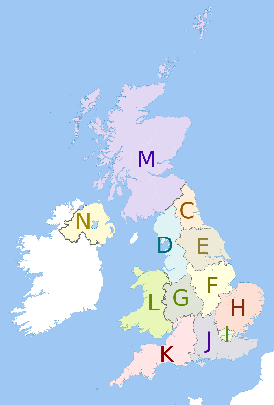
English: Map showing the NUTS 1 statistical regions of the United Kingdom in 2011.
Equirectangular map projection on WGS 84 datum, with N/S stretched 170% Geographic limits:
The region colours are paler versions of those in en:File:United Kingdom NUTS 1.png.
|
| Datum | (UTC) |
| Izvor |
This file was derived from: United Kingdom police areas map.svg:  |
| Autor |
|
| This is a retouched picture, which means that it has been digitally altered from its original version. Modifications: recoloured with some boundary lines hidden. The original can be viewed here: United Kingdom police areas map.svg:
|
Licenciranje
Ja, vlasnik autorskog prava ovog djela, ovdje ga objavljujem pod sljedećom licencom:
Ova datoteka je licencirana pod Creative Commons Attribution-Share Alike 3.0 neportiranom licencom.
Pripisivanje: Dr Greg and Nilfanion. Contains Ordnance Survey data © Crown copyright and database right 2011
- Slobodni ste:
- da dijelite – da kopirate, distributirate i prenosite djelo
- da remiksate – da prilagodite djelo
- Pod sljedećim uslovima:
- pripisivanje – Morate pripisati odgovarajuće autorske zasluge, osigurati link ka licenci i naznačiti jesu li napravljene izmjene. To možete uraditi na bilo koji razumni način, ali ne tako da se sugerira da davalac licence odobrava Vas ili Vašu upotrebu njegovog djela.
- dijeli pod istim uslovima – Ako mijenjate, transformišete ili nadograđujete ovaj materijal, morate ga objaviti i distribuirati samo pod istom ili sličnom licencom poput ove.
Originalni zapisnik postavljanja
This image is a derivative work of the following images:
- File:United_Kingdom_police_areas_map.svg licensed with Cc-by-sa-3.0
- 2011-10-12T11:33:39Z Nilfanion 871x1289 (2511111 Bytes) {{Information |Description=Map showing the [[w:Police areas|Police areas]] of the United Kingdom in 2011. Equirectangular map projection on WGS 84 datum, with N/S stretched 170% Geographic limits: *West: 11.0W *East: 2.2E *
Uploaded with derivativeFX
Historija datoteke
Kliknite na datum/vrijeme da vidite verziju datoteke iz tog vremena.
| Datum/vrijeme | Smanjeni pregled | Dimenzije | Korisnik | Komentar | |
|---|---|---|---|---|---|
| trenutno | 15:27, 12 maj 2012 | | 871 × 1.289 (2,43 MB) | Dr Greg | == {{int:filedesc}} == {{Information |Description={{en|Map showing the NUTS 1 statistical regions of the United Kingdom in 2011. Equirectangular map projection on WGS 84 datum, with N/S stretched 170% Geographic l... |
Upotreba datoteke
Sljedeća stranica koristi ovu datoteku:
Globalna upotreba datoteke
Sljedeći wikiji koriste ovu datoteku:
- Upotreba na de.wikipedia.org
- Upotreba na en.wikipedia.org
- Upotreba na fi.wikipedia.org
- Upotreba na it.wikipedia.org
- Upotreba na pt.wikipedia.org
- Upotreba na zh.wikipedia.org