Datoteka:Hvo controlled.png
Izvorna datoteka (1.220 × 1.100 piksela, veličina datoteke: 99 KB, MIME tip: image/png)
| Ova datoteka je s Wikimedia Commonsa. Opis s njene stranice opisa datoteke prikazan je ispod. Commons je skladište slobodnih medija i datoteka za sve projekte fondacije Wikimedia. Možete i Vi pomoći. |
Sažetak
(
| Opis |
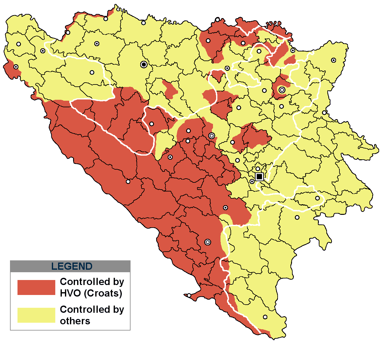
This is an update for the previous map, as the HVO never controlled all parts of municipality of Mostar and Stolac. Also, HVO never controlled neither part of municipalities Nevesinje, Berkovići, Ljubinje and Trebinje.
|
| Datum | |
| Izvor | self-made by Nihad Hamzić |
| Autor | Nihad Hamzic |
}
Licenciranje
| Ovaj rad je objavljen u javno vlasništvo od strane autora I, Nihad Hamzic. Ovo se primjenjuje širom svijeta. U nekim državama ovo zakonski nije moguće; u tom slučaju: I, Nihad Hamzic dopušta svima pravo korištenja ovog rada u bilo koju svrhu, bez ikakvih uslova, osim ako su takvi uslovi zakonski neophodni. |
The original image is here:
http://commons.wikimedia.org/wiki/Image:Hvo_controled.GIF
Check its description for licensing etc.
Historija datoteke
Kliknite na datum/vrijeme da vidite verziju datoteke iz tog vremena.
| Datum/vrijeme | Smanjeni pregled | Dimenzije | Korisnik | Komentar | |
|---|---|---|---|---|---|
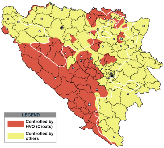
| trenutno | 19:21, 29 novembar 2020 | | 1.220 × 1.100 (99 KB) | Ceha | Tuzla i Bugojno |
| 15:31, 28 novembar 2020 |  | 1.220 × 1.100 (98 KB) | Ceha | Dodao neke promjene, od Ravne-Brčko, do Ravnog na jugu (operacija Bura https://hr.wikipedia.org/wiki/Operacija_Bura ) | |
| 19:40, 20 juli 2011 |  | 1.220 × 1.100 (48 KB) | DIREKTOR | Colors | |
| 11:29, 11 februar 2009 |  | 1.220 × 1.100 (49 KB) | Ceha | Corrected errors in Komušina municipality, HVO controled all of Croatian settlments till 10th of August 1991 | |
| 10:24, 11 august 2008 |  | 1.220 × 1.100 (49 KB) | Mostarac | {{Information |Description=This is an update for the previous map, as the HVO never controlled all parts of municipality of Mostar and Stolac. Also, HVO never controlled neither part of municipalities Nevesinje, Berkovići and Ljubinje. |Source=self-made | |
| 16:33, 5 januar 2008 |  | 1.220 × 1.100 (49 KB) | Nihad Hamzic | Added a legend. Also widened the image slightly to match the size of related images. I did not resize it, but added white space at sides. | |
| 12:08, 17 juli 2007 |  | 1.213 × 1.100 (41 KB) | Nihad Hamzic | Revised the colors to match (to be uniform) with colors in other related maps. | |
| 00:31, 16 juli 2007 |  | 1.213 × 1.100 (41 KB) | Nihad Hamzic | {{Information |Description=BiH territories which were controlled by HVO and regular Croatian Army for some time during the war. <br /> <br /> NOTICE:<br /> This image is a greatly optimised PNG version of the original GIF version of the image. Color dihte |
Upotreba datoteke
Sljedeća stranica koristi ovu datoteku:
Globalna upotreba datoteke
Sljedeći wikiji koriste ovu datoteku:
- Upotreba na ar.wikipedia.org
- Upotreba na ast.wikipedia.org
- Upotreba na ca.wikipedia.org
- Upotreba na cs.wikipedia.org
- Upotreba na de.wikipedia.org
- Upotreba na es.wikipedia.org
- Upotreba na eu.wikipedia.org
- Upotreba na fr.wikipedia.org
- Upotreba na gl.wikipedia.org
- Upotreba na hy.wikipedia.org
- Upotreba na hyw.wikipedia.org
- Upotreba na it.wikipedia.org
- Upotreba na pnb.wikipedia.org
- Upotreba na pt.wikipedia.org
- Upotreba na ru.wikipedia.org
- Upotreba na sr.wikipedia.org
- Upotreba na sv.wikipedia.org
- Upotreba na vi.wikipedia.org