Datoteka:Tanger 5.81290W 35.76619N.jpg
Veličina ovog prikaza: 800 × 599 piksela. Ostale rezolucije: 320 × 240 piksela | 640 × 479 piksela | 1.024 × 766 piksela | 1.280 × 958 piksela.
Izvorna datoteka (1.280 × 958 piksela, veličina datoteke: 179 KB, MIME tip: image/jpeg)
| Ova datoteka je s Wikimedia Commonsa. Opis s njene stranice opisa datoteke prikazan je ispod. Commons je skladište slobodnih medija i datoteka za sve projekte fondacije Wikimedia. Možete i Vi pomoći. |
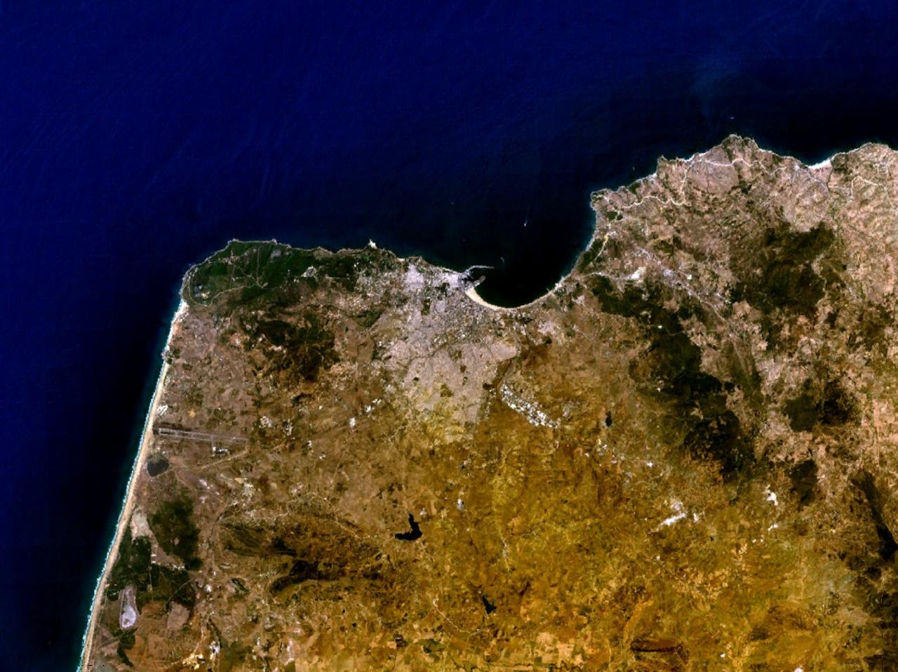
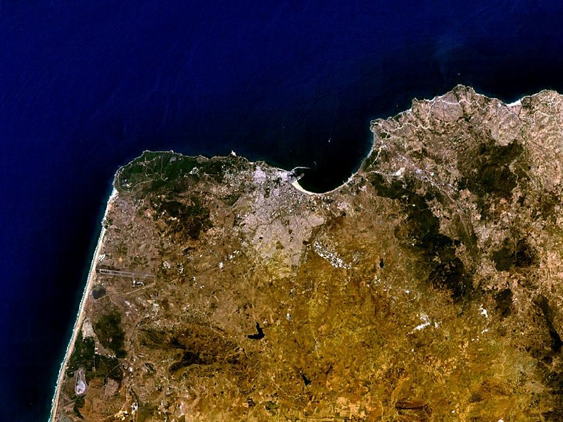
Tanger, Maroc NASA World Wind screenshot.
| This image is in the public domain because it is a screenshot from NASA’s globe software World Wind using a public domain layer, such as Blue Marble, MODIS, Landsat, SRTM, USGS or GLOBE.
|
 |
Historija datoteke
Kliknite na datum/vrijeme da vidite verziju datoteke iz tog vremena.
| Datum/vrijeme | Smanjeni pregled | Dimenzije | Korisnik | Komentar | |
|---|---|---|---|---|---|
| trenutno | 21:24, 16 maj 2005 | | 1.280 × 958 (179 KB) | Rex | Tanger, Morocco NASA World Wind screenshot. {{PD-USGov-NASA}} Category:Maps of Morocco |
Upotreba datoteke
Sljedeća stranica koristi ovu datoteku:
Globalna upotreba datoteke
Sljedeći wikiji koriste ovu datoteku:
- Upotreba na ast.wikipedia.org
- Upotreba na ca.wikipedia.org
- Upotreba na de.wikipedia.org
- Upotreba na en.wikipedia.org
- Upotreba na eo.wikipedia.org
- Upotreba na es.wikipedia.org
- Upotreba na fr.wikipedia.org
- Upotreba na hr.wikipedia.org
- Upotreba na lt.wikipedia.org
- Upotreba na pl.wiktionary.org
- Upotreba na uk.wikipedia.org