Datoteka:Mullerthal.jpg
Izvorna datoteka (1.712 × 2.288 piksela, veličina datoteke: 3,41 MB, MIME tip: image/jpeg)
| Ova datoteka je s Wikimedia Commonsa. Opis s njene stranice opisa datoteke prikazan je ispod. Commons je skladište slobodnih medija i datoteka za sve projekte fondacije Wikimedia. Možete i Vi pomoći. |
Sažetak
| Opis |
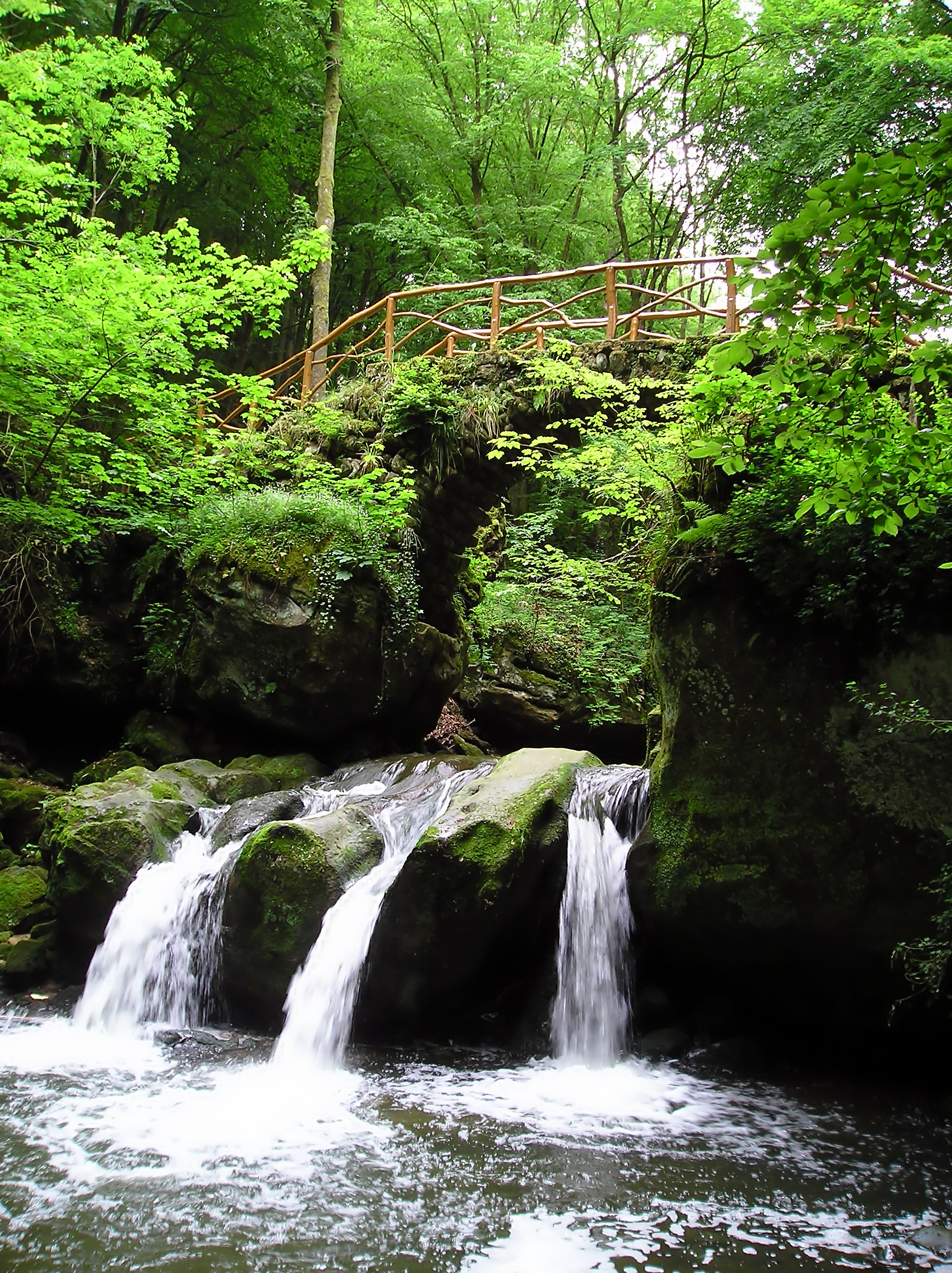
English: The Schiessentümpel waterfall in the valley of the Ernz Noire in the Mullerthal region in Luxembourg
Français : Cascade du Schiessentümpel dans la vallée de l'Ernz noire dans la région du Mullerthal au Luxembourg.
Nederlands: Mullerthal in de vallei van de Zwarte Ernz in Luxemburg. Meer informatie: Officiële site Mullerthal |
| Izvor | Vlastito djelo |
| Autor | Vincent de Groot |
| Camera location | | View this and other nearby images on: OpenStreetMap |
|---|
|

This image was selected as picture of the day on Wikimedia Commons for 22 April 2007. It was captioned as follows: Other languages:
|
| Another one of my pictures: Want to see more works of mine? click here |
Under this condition:
Please, use this work legally fulfilling the terms of the license! Please, let me know if you use this work outside Wikimedia Commons sending me an email to
|
Licenciranje
- Slobodni ste:
- da dijelite – da kopirate, distributirate i prenosite djelo
- da remiksate – da prilagodite djelo
- Pod sljedećim uslovima:
- pripisivanje – Morate pripisati odgovarajuće autorske zasluge, osigurati link ka licenci i naznačiti jesu li napravljene izmjene. To možete uraditi na bilo koji razumni način, ali ne tako da se sugerira da davalac licence odobrava Vas ili Vašu upotrebu njegovog djela.
- dijeli pod istim uslovima – Ako mijenjate, transformišete ili nadograđujete ovaj materijal, morate ga objaviti i distribuirati samo pod istom ili sličnom licencom poput ove.
Historija datoteke
Kliknite na datum/vrijeme da vidite verziju datoteke iz tog vremena.
| Datum/vrijeme | Smanjeni pregled | Dimenzije | Korisnik | Komentar | |
|---|---|---|---|---|---|
| trenutno | 00:28, 13 decembar 2007 | | 1.712 × 2.288 (3,41 MB) | AzaToth | tried to remove the jpeg artifacts and some noise, larger size, as to prevent creating any new |
| 18:26, 18 decembar 2005 |  | 1.712 × 2.288 (900 KB) | Vdegroot |
Upotreba datoteke
Sljedeća stranica koristi ovu datoteku:
Globalna upotreba datoteke
Sljedeći wikiji koriste ovu datoteku:
- Upotreba na als.wikipedia.org
- Upotreba na arz.wikipedia.org
- Upotreba na ba.wikipedia.org
- Upotreba na br.wikipedia.org
- Upotreba na ca.wikipedia.org
- Upotreba na ceb.wikipedia.org
- Upotreba na de.wikipedia.org
- Upotreba na de.wikivoyage.org
- Upotreba na en.wikipedia.org
- Upotreba na es.wikipedia.org
- Upotreba na fi.wikipedia.org
- Upotreba na fr.wikipedia.org
- Upotreba na hu.wikipedia.org
- Upotreba na hy.wikipedia.org
- Upotreba na ia.wikipedia.org
- Upotreba na id.wikipedia.org
- Upotreba na ka.wikipedia.org
- Upotreba na kk.wikipedia.org
- Upotreba na ko.wikipedia.org
- Upotreba na lt.wikipedia.org
- Upotreba na mg.wikipedia.org
- Upotreba na nl.wikipedia.org
- Upotreba na os.wikipedia.org
Pogledajte globalne upotrebe ove datoteke.