Datoteka:Ile-de-France region location map.svg

Veličina ovog PNG pregleda za ovu SVG datoteku: 742 × 600 piksela. Ostale rezolucije: 297 × 240 piksela | 594 × 480 piksela | 951 × 768 piksela | 1.267 × 1.024 piksela | 2.535 × 2.048 piksela | 1.651 × 1.334 piksela.
Izvorna datoteka (SVG datoteka, nominalno 1.651 × 1.334 piksela, veličina datoteke: 944 KB)
| Ova datoteka je s Wikimedia Commonsa. Opis s njene stranice opisa datoteke prikazan je ispod. Commons je skladište slobodnih medija i datoteka za sve projekte fondacije Wikimedia. Možete i Vi pomoći. |
Sažetak
| Camera location | | View this and other nearby images on: OpenStreetMap |
|---|
| Opis |
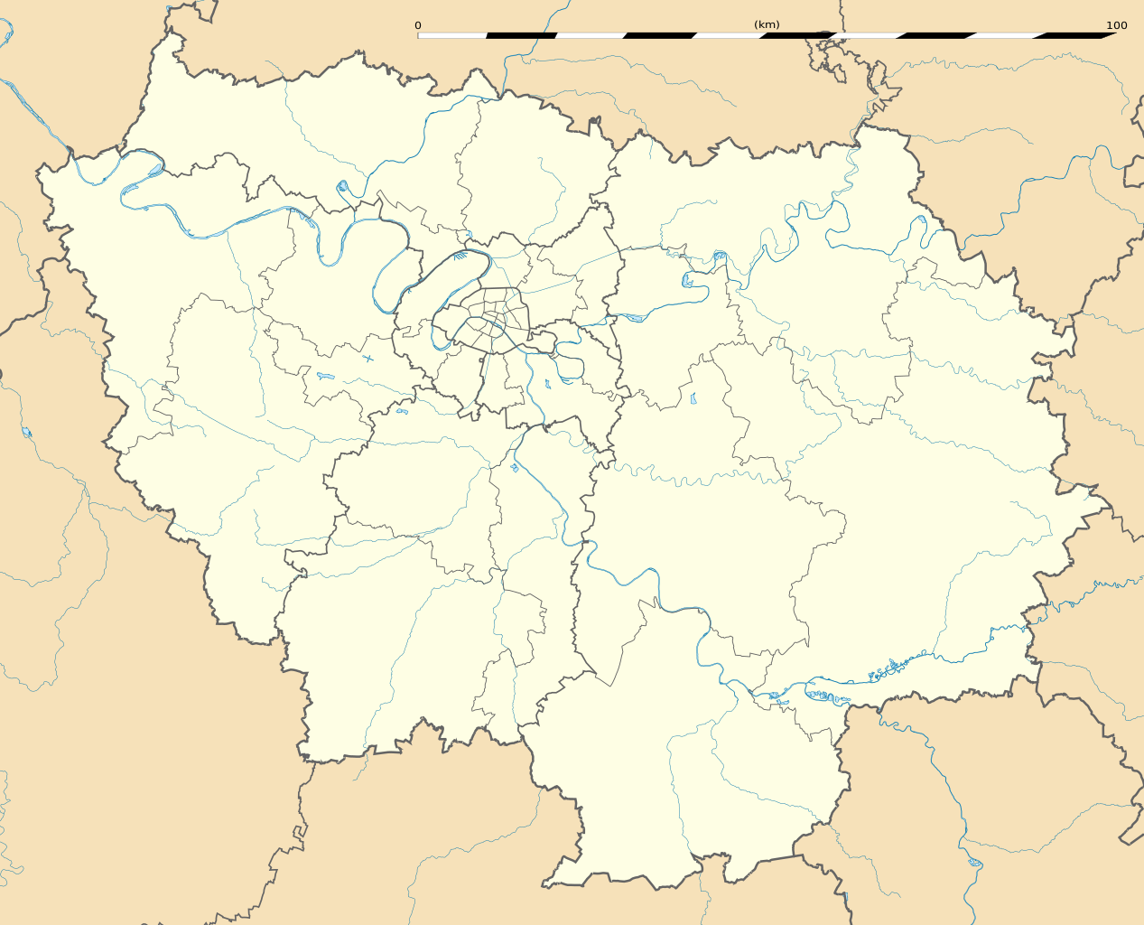
English: Blank administrative map of the region of Île-de-France, France, as in January 2015, for geo-location purpose, with distinct boundaries for regions, departments and arrondissements.
Français : Carte administrative vierge de la région Île-de-France, France, telle qu'en janvier 2015, destinée à la géolocalisation, avec limite distincte des régions, départements et arrondissements. Estimated scale: 1:400,000 (precision: 100 m)
Geographic limits of the map:
|
||
| Datum | |||
| Izvor |
Vlastito djelo
|
||
| Autor | Eric Gaba (Sting - fr:Sting) | ||
| Dopuštenje (Naknadno korištenje ove datoteke) |
|
||
| Ostale verzije |
|

Licenciranje
Eric Gaba, Wikimedia Commons user Sting, vlasnik autorskog prava ovog djela, ovdje ga objavljujem pod sljedećom licencom:
Ova datoteka je licencirana pod Creative Commons Attribution-Share Alike 3.0 neportiranom licencom.
Pripisivanje: Eric Gaba, Wikimedia Commons user Sting
- Slobodni ste:
- da dijelite – da kopirate, distributirate i prenosite djelo
- da remiksate – da prilagodite djelo
- Pod sljedećim uslovima:
- pripisivanje – Morate pripisati odgovarajuće autorske zasluge, osigurati link ka licenci i naznačiti jesu li napravljene izmjene. To možete uraditi na bilo koji razumni način, ali ne tako da se sugerira da davalac licence odobrava Vas ili Vašu upotrebu njegovog djela.
- dijeli pod istim uslovima – Ako mijenjate, transformišete ili nadograđujete ovaj materijal, morate ga objaviti i distribuirati samo pod istom ili sličnom licencom poput ove.
Historija datoteke
Kliknite na datum/vrijeme da vidite verziju datoteke iz tog vremena.
| Datum/vrijeme | Smanjeni pregled | Dimenzije | Korisnik | Komentar | |
|---|---|---|---|---|---|
| trenutno | 17:21, 12 februar 2015 | | 1.651 × 1.334 (944 KB) | Sting | Boundaries correction |
| 18:25, 22 januar 2015 |  | 1.651 × 1.334 (945 KB) | Sting | Boundaries correction | |
| 16:03, 21 januar 2015 |  | 1.651 × 1.334 (943 KB) | Sting | == {{int:filedesc}} == {{Location|48|40|30|N|02|30|00|E|scale:1000000}} {{Information |Description={{en|Blank administrative map of the region of Île-de-France, France, as in January 2015, for geo-location purpose, with distinct... |
Upotreba datoteke
Sljedeće 3 stranice koriste ovu datoteku:
Globalna upotreba datoteke
Sljedeći wikiji koriste ovu datoteku:
- Upotreba na af.wikipedia.org
- Upotreba na als.wikipedia.org
- Upotreba na ast.wikipedia.org
- Upotreba na azb.wikipedia.org
- پاریس
- ارژانتوی
- کولومب فرانسه
- کوربوآ
- ورسای
- کرتی
- ویتری-سور-سن
- سرژی
- لوالوآ-پره
- ایسی-له-مولینو
- سن-مر-د-فوسه
- روی ملمزون
- اپینه-سور-سن
- اتی مون
- اوی، ایولین
- ایوری-سور-سن
- آلفورویل
- برتینی-سور-ارژ
- برونوآ
- بری-سور-مرن
- بنیوله
- بوآ-کلمب
- بوبینی
- بوندی
- پلزو
- پونتوآز
- پیروفیت سور سن
- ترامبله آنفرانس
- دروی
- دمری للیس
- دوی لبر
- روزنی سو بوآ
- ری اورانژی
- ژنویلیه
- ژیف سور ایوت
- سن-مانده
- سن ژرمن آن له
- سن کلو
- سن میشل سور اورژ
- سورزن
- سوینیی سور اورژ
- شاتنه-ملبری
- شام سور مرن
- شتو
- شرانتون-لو-پون
Pogledajte globalne upotrebe ove datoteke.