Datoteka:Cooks Karte von Neufundland.jpg

Veličina ovog prikaza: 615 × 599 piksela. Ostale rezolucije: 246 × 240 piksela | 492 × 480 piksela | 788 × 768 piksela | 1.051 × 1.024 piksela | 1.500 × 1.462 piksela.
Izvorna datoteka (1.500 × 1.462 piksela, veličina datoteke: 521 KB, MIME tip: image/jpeg)
| Ova datoteka je s Wikimedia Commonsa. Opis s njene stranice opisa datoteke prikazan je ispod. Commons je skladište slobodnih medija i datoteka za sve projekte fondacije Wikimedia. Možete i Vi pomoći. |
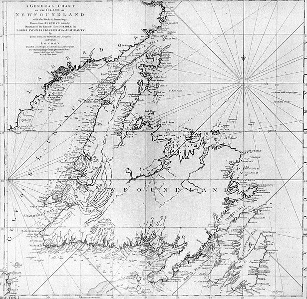
| Opis | A general chart of the island of Newfoundland. Surveyed by James Cook and Michael Lane, and "publish'd according to Act of Parliament by Thomas Jefferys Geographer to the King, 1775." |
| Datum | |
| Izvor | originally uploaded to en.wikipedia by Jcmurphy on 23 Apr 2005; copied from "Courtesy of the Centre for Newfoundland Studies, Memorial University of Newfoundland, St. John's, Newfoundland." |
| Autor | Michael Lane and James Cook |
| Dopuštenje (Naknadno korištenje ove datoteke) |
Public domain because of age |
|
This work is in the public domain in its country of origin and other countries and areas where the copyright term is the author's life plus 100 years or fewer. | |
| Ova datoteka je identificirana kao slobodna od poznatih ograničenja po zakonu o autorskim pravima, uključujući sva povezana i srodna prava. | |
Historija datoteke
Kliknite na datum/vrijeme da vidite verziju datoteke iz tog vremena.
| Datum/vrijeme | Smanjeni pregled | Dimenzije | Korisnik | Komentar | |
|---|---|---|---|---|---|
| trenutno | 21:10, 6 januar 2006 | | 1.500 × 1.462 (521 KB) | Schaengel89~commonswiki | {{Information| |Description =A general chart of the island of Newfoundland. Surveyed by James Cook and Michael Lane, and "publish'd according to Act of Parliament by Thomas Jefferys Geographer to the King, 1775." |Source =originally yuploaded to |
Upotreba datoteke
Sljedeća stranica koristi ovu datoteku:
Globalna upotreba datoteke
Sljedeći wikiji koriste ovu datoteku:
- Upotreba na ca.wikipedia.org
- Upotreba na de.wikipedia.org
- Upotreba na en.wikipedia.org
- Upotreba na en.wikivoyage.org
- Upotreba na eo.wikipedia.org
- Upotreba na es.wikipedia.org
- Upotreba na fi.wikipedia.org
- Upotreba na fr.wikipedia.org
- Upotreba na fur.wikipedia.org
- Upotreba na ga.wikipedia.org
- Upotreba na gl.wikipedia.org
- Upotreba na he.wikipedia.org
- Upotreba na hy.wikipedia.org
- Upotreba na ia.wikipedia.org
- Upotreba na it.wikipedia.org
- Upotreba na ja.wikipedia.org
- Upotreba na ka.wikipedia.org
- Upotreba na ko.wikipedia.org
- Upotreba na la.wikipedia.org
- Upotreba na li.wikipedia.org
- Upotreba na lt.wikipedia.org
- Upotreba na mk.wikipedia.org
- Upotreba na ne.wikipedia.org
- Upotreba na no.wikipedia.org
- Upotreba na oc.wikipedia.org
- Upotreba na pl.wikipedia.org
- Upotreba na pl.wiktionary.org
- Upotreba na pt.wikipedia.org
Pogledajte globalne upotrebe ove datoteke.