Datoteka:Beaufortzee.PNG
Veća rezolucija nije dostupna.
Beaufortzee.PNG (747 × 492 piksela, veličina datoteke: 16 KB, MIME tip: image/png)
| Ova datoteka je s Wikimedia Commonsa. Opis s njene stranice opisa datoteke prikazan je ispod. Commons je skladište slobodnih medija i datoteka za sve projekte fondacije Wikimedia. Možete i Vi pomoći. |
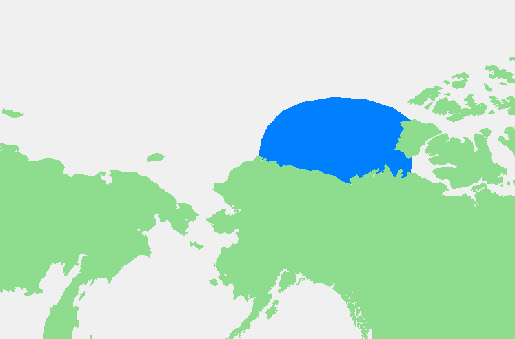
| Opis | Beaufortzee / Beaufort Sea | ||||
| Izvor | Vlastito djelo | ||||
| Autor | edited by M.Minderhoud | ||||
| Dopuštenje (Naknadno korištenje ove datoteke) |
|
Historija datoteke
Kliknite na datum/vrijeme da vidite verziju datoteke iz tog vremena.
| Datum/vrijeme | Smanjeni pregled | Dimenzije | Korisnik | Komentar | |
|---|---|---|---|---|---|
| trenutno | 21:13, 3 novembar 2006 | | 747 × 492 (16 KB) | Michiel1972 | {{Information |Description= {{subst:PAGENAME}} |Source= |Date= |Author= edited by M.Minderhoud |Permission= {{PD-Demis}} |other_versions= }} Category:Locator maps of seas |
Upotreba datoteke
Sljedeća stranica koristi ovu datoteku:
Globalna upotreba datoteke
Sljedeći wikiji koriste ovu datoteku:
- Upotreba na af.wikipedia.org
- Upotreba na an.wikipedia.org
- Upotreba na ar.wikipedia.org
- Upotreba na ast.wikipedia.org
- Upotreba na avk.wikipedia.org
- Upotreba na azb.wikipedia.org
- Upotreba na bg.wikipedia.org
- Upotreba na bn.wikipedia.org
- Upotreba na br.wikipedia.org
- Upotreba na ca.wikipedia.org
- Upotreba na de.wikipedia.org
- Upotreba na el.wikipedia.org
- Upotreba na en.wikipedia.org
- Upotreba na eo.wikipedia.org
- Upotreba na es.wikipedia.org
- Upotreba na fa.wikipedia.org
- Upotreba na fi.wikipedia.org
- Upotreba na fr.wikipedia.org
- Upotreba na fy.wikipedia.org
- Upotreba na gl.wikipedia.org
- Upotreba na hr.wikipedia.org
- Upotreba na hu.wikipedia.org
- Upotreba na hy.wikipedia.org
- Upotreba na ia.wikipedia.org
- Upotreba na id.wikipedia.org
- Upotreba na ilo.wikipedia.org
- Upotreba na is.wikipedia.org
- Upotreba na ka.wikipedia.org
- Upotreba na kbd.wikipedia.org
- Upotreba na ky.wikipedia.org
- Upotreba na la.wikipedia.org
- Upotreba na li.wikipedia.org
- Upotreba na mk.wikipedia.org
- Upotreba na ml.wikipedia.org
- Upotreba na mn.wikipedia.org
- Upotreba na ms.wikipedia.org
- Upotreba na mzn.wikipedia.org
- Upotreba na nl.wikipedia.org
- Upotreba na pl.wikipedia.org
- Upotreba na pl.wiktionary.org
- Upotreba na pnb.wikipedia.org
- Upotreba na pt.wikipedia.org
- Upotreba na sc.wikipedia.org
- Upotreba na simple.wikipedia.org
- Upotreba na sl.wikipedia.org
Pogledajte globalne upotrebe ove datoteke.