Datoteka:Location map Bonaire.png

Veličina ovog prikaza: 568 × 600 piksela. Ostale rezolucije: 227 × 240 piksela | 455 × 480 piksela | 739 × 780 piksela.
Izvorna datoteka (739 × 780 piksela, veličina datoteke: 140 KB, MIME tip: image/png)
| Ova datoteka je s Wikimedia Commonsa. Opis s njene stranice opisa datoteke prikazan je ispod. Commons je skladište slobodnih medija i datoteka za sve projekte fondacije Wikimedia. Možete i Vi pomoći. |
| Opis |
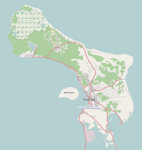
English: Map of Bonaire for pin
Geographic limits of the map:
Ova datoteka je licencirana pod Creative Commons Attribution-Share Alike 2.0 generičkom licencom.
|
| Datum | |
| Izvor | Maps for free |
| Autor | Dr. Blofeld |
Historija datoteke
Kliknite na datum/vrijeme da vidite verziju datoteke iz tog vremena.
| Datum/vrijeme | Smanjeni pregled | Dimenzije | Korisnik | Komentar | |
|---|---|---|---|---|---|
| trenutno | 12:58, 2 maj 2011 | | 739 × 780 (140 KB) | Blofeld Dr. | {{Information |Description ={{en|1=t}} |Source =t |Author =t |Date =t |Permission = |other_versions = }} |
Upotreba datoteke
Sljedeća stranica koristi ovu datoteku:
Globalna upotreba datoteke
Sljedeći wikiji koriste ovu datoteku:
- Upotreba na ar.wikipedia.org
- Upotreba na bg.wikipedia.org
- Upotreba na ceb.wikipedia.org
- Plantilya:Location map Bonaire
- Signal Hill
- Green Island
- Flat Point
- Castle Hill
- North Point
- Little Island
- Sugar Loaf
- Southeast Point
- Santa Maria (pagklaro)
- Angola (pagklaro)
- Camia (pagklaro)
- Pig Rock
- Montana
- Lac
- Rincón
- Peak Hill
- Kates Hill
- Fort Hill
- Tent Point
- Little Mountain
- Grey Hill
- Needle Rocks
- Pilot Hill
- Bunker Hill
- Ceru Pretu
- Oranjestad
- Westpunt
- Ceru Grandi
- Seroe Grandi
- Well’s Gut
- Wash Gut
- Hellsgate
- Troy
- The Bottom
- Soledad
- Soldiers Gut
- Smith Gut
- Sint Eustatius
- Saint John’s Hill
- Saba Island
- Saba (pagklaro)
- Rancho
- Pisga
- Paris Hill
- Montaña
- Montagne (pagklaro)
Pogledajte globalne upotrebe ove datoteke.